
Creatividad tecnológica
Llevamos el pasto verde de la innovación al mundo del Software.
Nosotros
Somos una empresa de tecnologías de la información que se especializa en ofrecer soluciones creativas y personalizadas para satisfacer las necesidades de nuestros clientes.


Ofrecemos soluciones tecnológicas de alta calidad, utilizando las últimas herramientas y tecnologías disponibles.
Nos esforzamos por ofrecer un servicio personalizado y centrado en las necesidades de cada cliente, trabajando juntos para alcanzar los objetivos específicos de su negocio.
Servicios
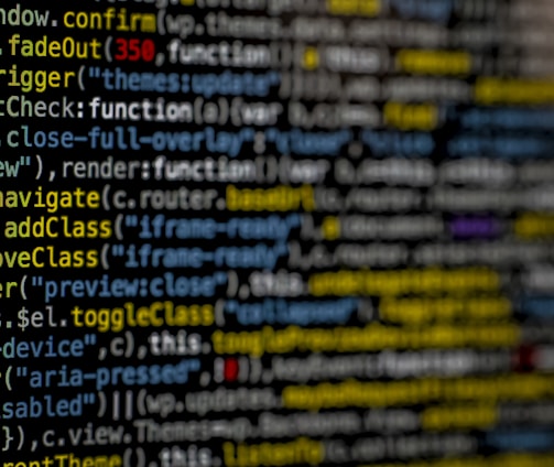
Transformación Digital
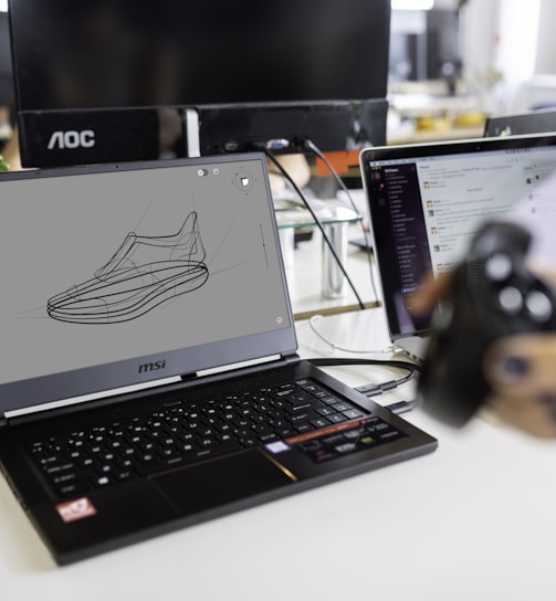
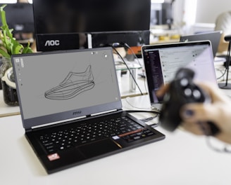
Proyectos
La transformación digital implica que las empresas adopten tecnología para optimizar su eficiencia y competitividad. Utiliza herramientas como internet, análisis de datos y cambios en procesos para tomar decisiones estratégicas y evolucionar modelos de negocio. Impacta áreas clave como gestión de clientes, producción y distribución, siendo esencial para adaptarse al cambiante mundo digital y mantener la relevancia en un entorno altamente tecnológico.
E-commerce
El E-Commerce ha crecido enormemente en los últimos años, cambiando cómo compramos y vendemos en línea. Nos brinda acceso global a productos con solo unos clics, permitiendo comparaciones y transacciones seguras. Aunque plantea desafíos de seguridad, sigue evolucionando para ofrecer más opciones y ventajas a los consumidores, ampliando el alcance de empresas grandes y pequeñas.


Aplicaciones Móviles
Hoy en día, las aplicaciones móviles son esenciales en nuestra rutina diaria. Con un dispositivo inteligente, accedemos a múltiples aplicaciones que nos brindan servicios y entretenimiento variado. Desde comunicarnos con seres queridos hasta compras en línea, las aplicaciones facilitan nuestras vidas. Además, ofrecen acceso a juegos, música y películas para disfrutar en cualquier momento y lugar. En conclusión, las aplicaciones móviles son herramientas indispensables que enriquecen nuestra vida cotidiana.


Inteligencia Artificial
La Inteligencia Artificial simula el pensamiento humano mediante algoritmos y sistemas avanzados. Permite a las máquinas ejecutar tareas complejas de manera autónoma. Con aplicación en diversas áreas y en un constante proceso de evolución, lo que genera una gran influencia en la sociedad actual.